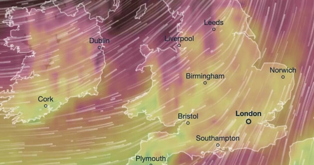
Horror maps have revealed the impending arrival of Storm Eowyn this weekend, bringing along 95mph winds, rain, and snow to the UK. Residents along exposed coastlines in Northern Ireland, northern England, northwestern Wales, and western Scotland have been advised to make necessary preparations for the storm’s impact. The Met Office has issued yellow severe weather warnings for Friday and Saturday covering extensive areas of the country.
A timelapse video has illustrated the projected path and timing of the storm, highlighting the potential risks of powerful winds that could lead to power outages, travel disruptions, and property damage. Coastal residents are cautioned about the threat of high waves hitting shorelines. Met Office’s deputy chief meteorologist, Mike Silverstone, emphasized the disruptive weather that Storm Eowyn is expected to bring, especially to the mentioned regions, warning of gusts exceeding 80mph in exposed locations.
The storm’s movement remains uncertain, but it is anticipated to approach from the northwest and then shift northeastward, with strong winds likely to impact inland areas and coastal regions. Snowfall is also a possibility in Northern Ireland, northern England, and Scotland due to the interaction with cold air, potentially causing travel disruptions. Motorists are advised to be cautious as driving conditions may deteriorate, particularly in western England, Scotland, and Northern Ireland, where fallen trees and branches could obstruct roads.
Additionally, yellow fog warnings are in effect for parts of England, Northern Ireland, and Scotland on Wednesday. The day is expected to start with fog patches in the north, followed by a mix of sunshine and showers, while the southeast of England may experience cloudy weather with rain and drizzle.
Concerned about Storm Eowyn? Share your thoughts in our poll. Participate to voice your opinion on the upcoming weather event in your region.

