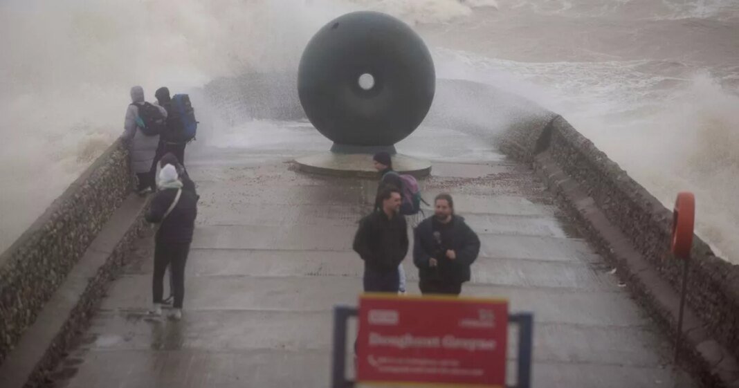
Monster gales with speeds reaching up to 90mph are set to hit various regions of the UK on Friday, posing a significant risk to life and property. The Met Office has issued three weather warnings across the country in anticipation of the arrival of Storm Éowyn, the fifth named storm of the year.
The most severe gusts are expected in the morning, affecting areas such as Merseyside, Lancashire, and Cumbria. Despite some easing in the afternoon, the potential damage from roofs being blown off and power lines down remains a major concern nationwide.
According to the Met Office, the storm could result in injuries and life-threatening situations due to flying debris, large waves, and coastal material being hurled onto seafronts and properties. Significant structural damage, including roof destruction and power outages, is also likely.
Weather maps from Ventusky indicate that the storm will make landfall in the UK around 8am on Friday, starting from Ireland and progressing towards north Wales, including Anglesey, with wind speeds ranging between 80mph and 90mph. The storm is expected to intensify as it moves across Merseyside, Lancashire, and eventually reaches Cumbria and Northumberland.
Parts of Tyne and Wear and the East Lothian coast will experience the brunt of the storm’s force in the afternoon, with wind speeds remaining at around 90mph. The Met Office forecasts Storm Éowyn to pass over the northwest of the UK on Friday before moving northeastwards on Saturday, bringing very strong winds with gusts of up to 90mph in coastal and hilly areas.
While the wind-related weather warnings for Friday expire at 11.59pm, a new warning has been issued for Scotland on Saturday, highlighting the risks of travel disruptions across road, rail, air, and ferry services until 3pm.

